Aerial Drone Photography & Video
Aerial photography for land, lots, and views
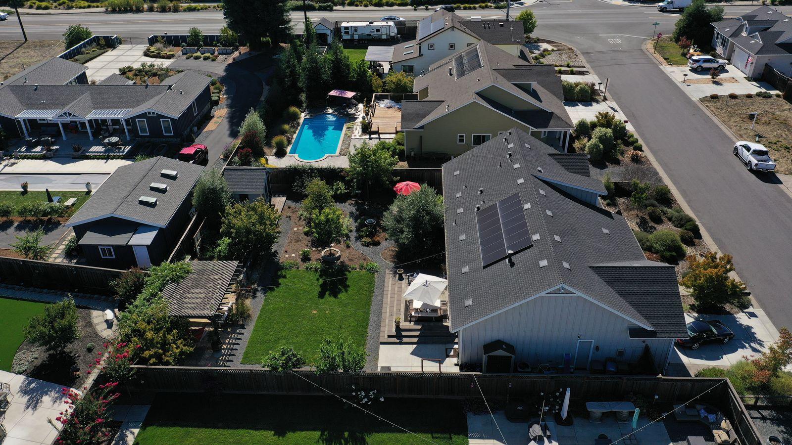
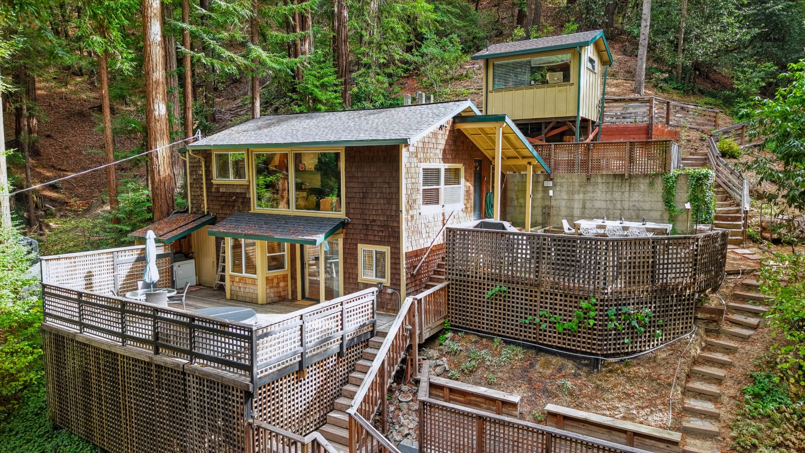
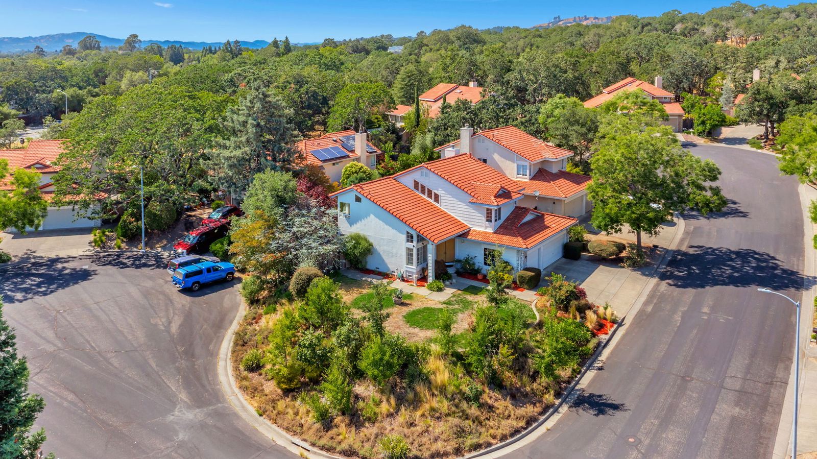
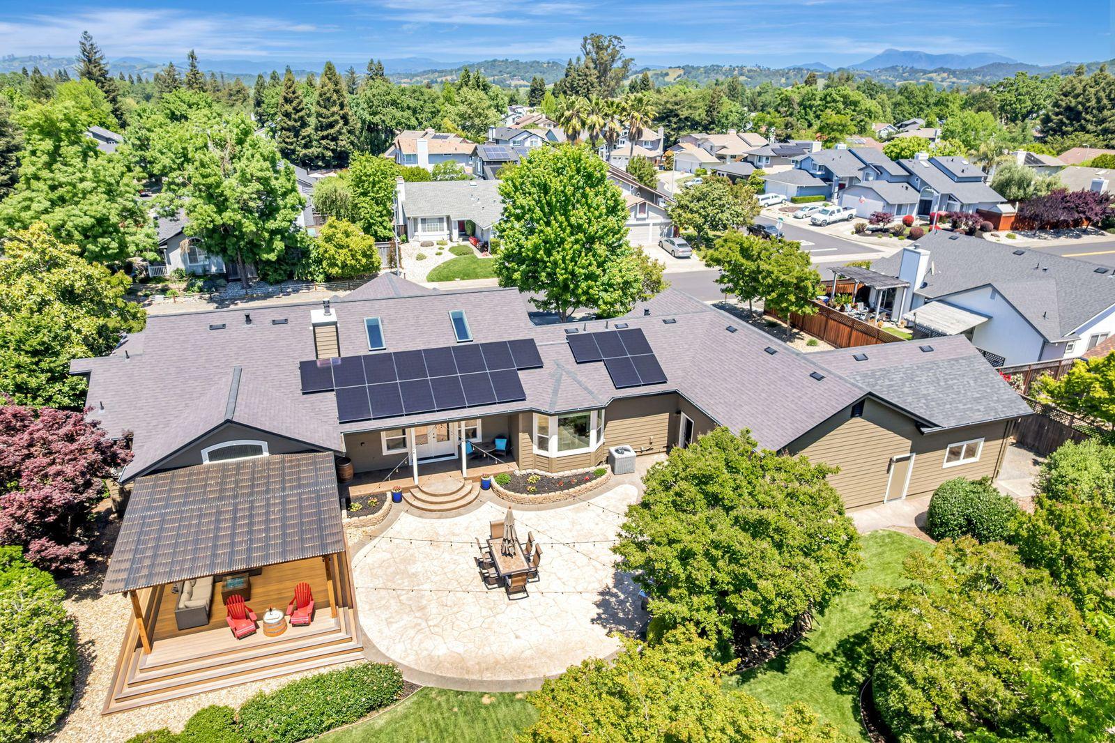
In Sonoma County, the land is often half the story: a vineyard parcel, a creek, a ridge-top view, or a quiet street close to town. Aerial photos show buyers how the home sits on the property and what's around it.
Our drone work is flown by an FAA-certified remote pilot, within the airspace rules for each address.
What you get
- 15 to 20 finished aerial stills showing the home, lot, outbuildings, and approach
- Drone video of the home and surrounding land when you add an aerial video tour
- Flown by an FAA-certified remote pilot, with airspace checked before every flight
- Delivered with your listing photos on the same property page
Pricing
Prices are for homes up to 3,000 sq ft unless marked otherwise. Larger homes are priced by square footage in the quote builder.
- Aerial Photography15 to 20 drone stills of the home in context.
- $175
- Aerial Video TourDrone video of the home and land, plus five aerial stills.
- $300
Included in these packages
- Grand ReserveThe full kit. Everything in Reserve, plus aerial photos, a Matterport tour, and a floor plan.
- From $625
Recent work
Questions agents ask
Can you fly anywhere in Sonoma County?
Most addresses, yes. A few areas near airports need advance authorization, which we handle. Weather and wind can move a flight, and we'll reschedule the aerial portion if needed.
Is aerial worth it for a house in town?
Often. It shows the neighborhood, nearby parks and schools, and how close the home is to downtown, which ground photos can't.
Where do you work?
Central and west Sonoma County: Santa Rosa, Healdsburg, Windsor, Rohnert Park, Sebastopol, Forestville with no travel fee, plus Occidental, Bodega Bay, Jenner with a small travel fee.